Inverse Distance Weighting Interpolation (IDW)
This distance weighting interpolation method uses meteorologic input data formatted in  WaSiM table format. All stations within a given radius around the interpolation location are used for the computation. Nodata-values in the input files are ignored. If only one stations has a valid value for a time step, no new interpolation is carried out, but the value of that one station is assigned to all grid cells (except method 12, where lapse rates are applied in addition). If no station at all has valid values, the interpolation of the last time step is used again for .
The IDW interpolation implemented in WaSiM uses following parameters:
- Weighting (usually 2, i.e. quadratic inverse distance weighting)
- maximum distance of a station from the interpolation location
- Two parameters considering a spatial anisotropy
The anisotropy is defined as an ellipse. The main axis' slope against the west-east line in mathematically positive rotation and the relation of minor to major axis define the shape of the ellipse. The main axis' slope must be between [0° .. < 90°]; The anisotropy relation (AR) between [0 < AR <= 1]. An AR of 1 means no anisotropy at all (input data field is isotropic).
More details on the IDW method can be found in the WaSiM model documentation.
 |
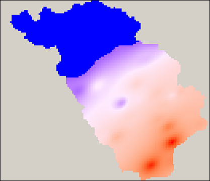
| Sample plot of an IDW result |